One of DesignHammer’s core values is healthy living. Life in the COVID-19 world is a challenge for many, so to help encourage our team members on their wellness and fitness journeys, we turned to gamification last year.
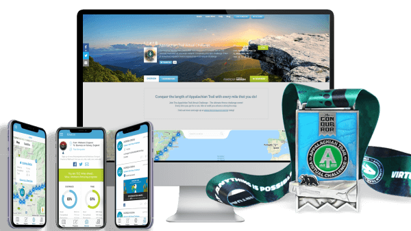
DesignHammer signed up for The Conquerer Events, powered My Virtual Mission, a mashup of Google Maps and a fitness tracker that maps a path along iconic trails. Mix in a dash of marketing charm, including fancy finisher medals and virtual postcards, and it is hard to resist the urge to stay physically active. Last summer 5 staff undertook a virtual pilgrimage on The Pilgrims’ Way from the French border with Spain to el Camino de Santiago. Despite potential blockers like COVID-19 mask protocols, lack of indoor workout options amidst a blazing hot summer, and general life reshuffling, the team completed the 480-mile mission in 8 weeks, in line with our original goals. It was a great experience for the team in general, with several of us upping our fitness game as a result of the unique gamification aspect of the challenge. After the challenge, Managing Partner David Minton said:
"I thought this would be a great way to use not just technology, but also the mental and technologically stimulating effects that gamification can add to encourage fitness. I'm glad our team stepped up to take part in this challenge and hope to do more."
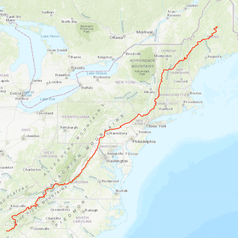
Since this was such an positive experience, the team has decided to do it again in 2021. For the better part 6 months, we will virtually trek the 1,968-mile Appalachian Trail, from Springer Mountain, Georgia to Mount Katahdin, Maine. For every 20% of the journey, The Conquerer will plant a tree for each team member in the challenge, allowing us to contribute to the environment that we will be using to complete this challenge.
If you want to participate along with Team DesignHammer, use our team link for 10% off the registration price.
Check back as we post our progress, and describe the points of interest we pass along the iconic Appalachian Trail.